PEDRA BRANCA PROJECT

CEARÁ STATE, BRAZIL

High-grade, near-surface
gold potential

PEDRA BRANCA PROJECT

CEARÁ STATE, BRAZIL

High-grade, near-surface
gold potential

Dashboard

Overview

  • Large property (48,828 ha) over a 50 km-long shear zone
  • 13 well-defined targets and 30 prospective tenements
  • Substantial work to date, including ~20km of drilling
  • Near key infrastructure (roads, power, mine supply)
  • Many wide, near-surface high grade zones
    (18m @ 3.81 g/t Au incl 3m @ 14.97 g/t Au; 19.6m @ 4.75 g/t Au incl 7.9m @ 9.66 g/t Au and 16m @ 3.27 g/t Au incl 2m @ 19.44 g/t Au; 3m @ 32.63 g/t Au incl 1m @ 96.04 g/t Au )
  • Maiden resource at average 30 meters depth 4Mt @ 1.38g/t Au Inferred from surface exploration program

Download the technical report here: PB-Technical-Report-2021.pdf

Phase I, Phase II and Historical Databases at 50 ppb cutoff:

Drilling Database

Historical Trenches Database

South Atlantic Gold Trenches Database

Pedra Branca
Tenements

Tenement Map is below. Please click to enlarge image.

Tenement Licensing in Brazil

  • Report requirements are not NI 43-101 compliant
  • South Atlantic remains in compliance with all tenements at the Pedra Branca Project

Exploration

Phase I and Phase II Exploration Programs completed

  • Phase I:
    • Phase I returned results that provided the Maiden Inferred Resource of 180,000 ounces of gold
    • Expenditures for Phase I exploration program provided the earn-in and completed the 100% ownership of the Pedra Branca project to South Atlantic Gold
  • Phase II:
    • Drone magnetic geophysical survey confirmed unique magnetic signatures over areas of known mineralization which will be used to identify and target other potential mineralized areas
    • 15 tenements completed final reports with submission to the ANM (Brazilian Mining Agency) to transfer these tenements into mining concession status
    • Strike length of mineralization along the trend continue to grow and now stands at 14 km

Exploration Results for Phase I and II Combined

Qualified Persons

Marcelo Antonio Batelochi (P.Geo.), MAUSIMM (CP), the Company’s Sr Exploration Manager is the Qualified Person as defined by National Instrument 43-101 who supervised the work program and preparation of the technical data on this webpage.

drone survey

The high resolution drone survey was successful in the identification of magnetic signatures that enable the geological team to locate areas of interest for future exploration.

Geology

The Pedra Branca project is a mesothermal gold deposit hosted in the Troia greenstone belt in the Brazilian Archean terrain. The exploration programs at Pedra Branca have been systematically using soil sampling, trenching, RC drilling and drone geophysical magnetics to determine the controls on mineralization and grade variability at the project.
The strike length of mineralization at Pedra Branca has been extended from 2 km to 14 km as a result of the exploration programs. The mineralization has only been tested to an approximate depth of 40 m.

The Borborema Province has been described by several authors as having high metamorphic grade and high complex structural development, with the supracrustal sequences metamorphosed to gneiss and migmatites or in high temperature schists associating the paragenesis of garnet, kyanite and sillimanite.

An extensive compilation by Companhia de Pesquisa e Recursos Minerais do Brasil (CPRM), the Brazilian Geological Survey, created a regional geologic map of the Borborema Province below.

IGREJINHA TARGET

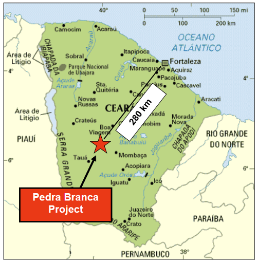
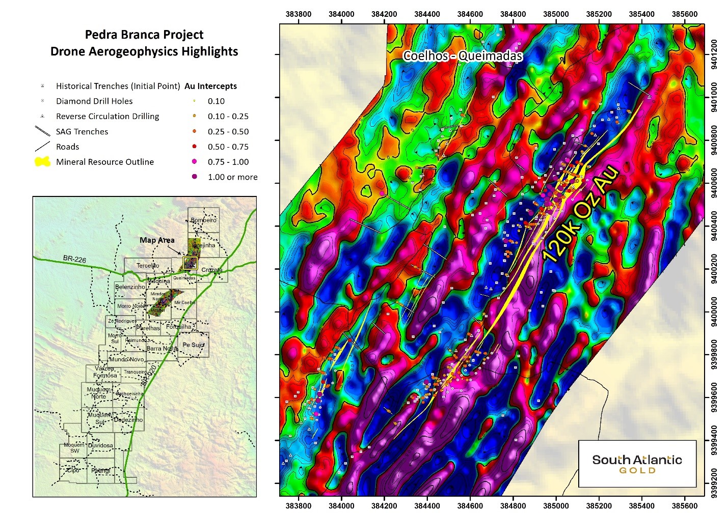
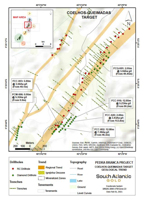
Identified gold mineralization at the Pedra Branca Property is recognized by most of the geological community as mesothermal shear zone hosted gold deposit, associated to the Senador‐Pompeu shear zone. Mineralization generally occurs associated with quartz veinlets parallel to the foliation (Coelho and Queimadas targets) and sub‐metric to meter milky quartz veins at the Mirador and Igrejinha targets. Mineralization is often continuous to considerable depths in these systems.

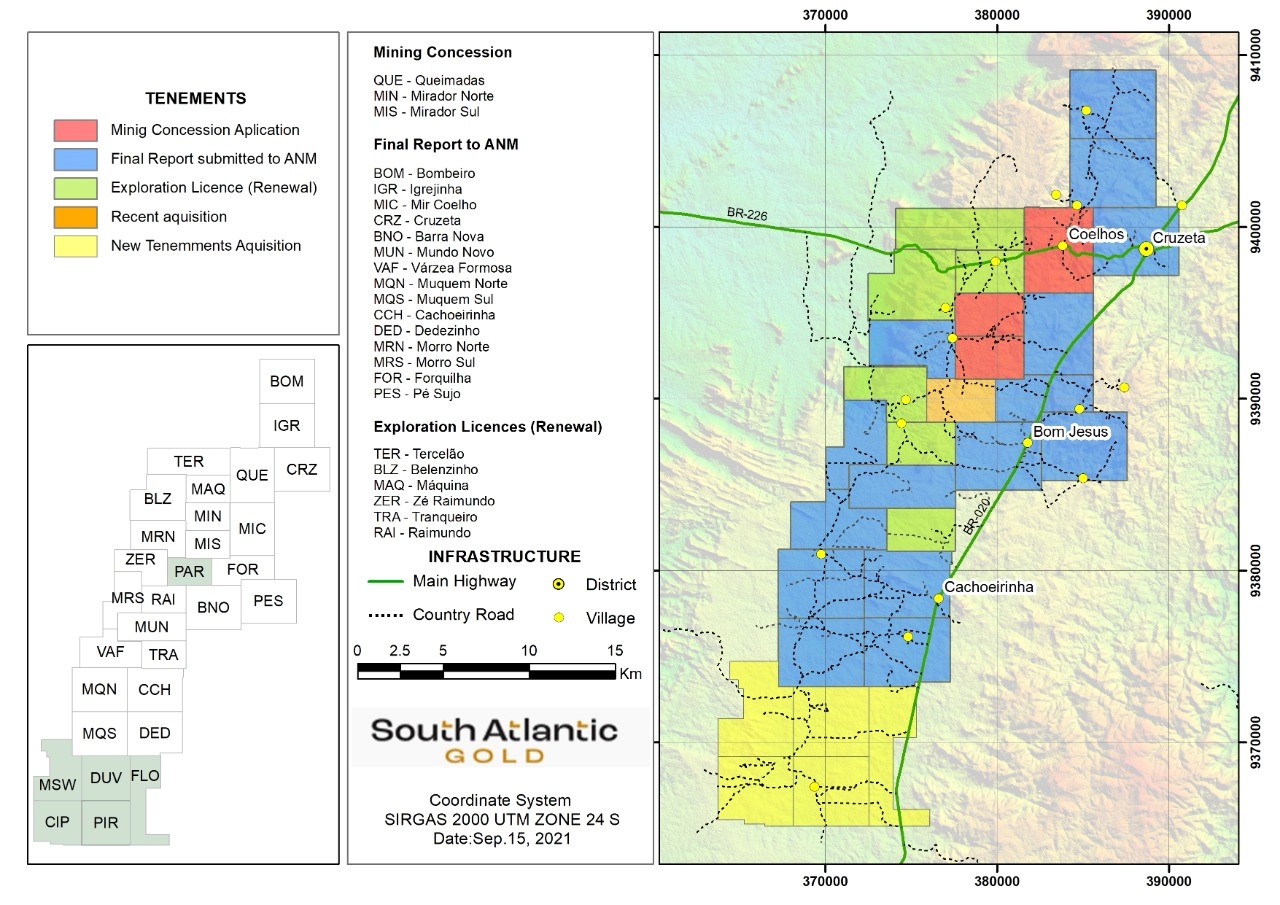
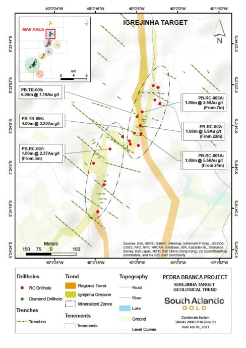
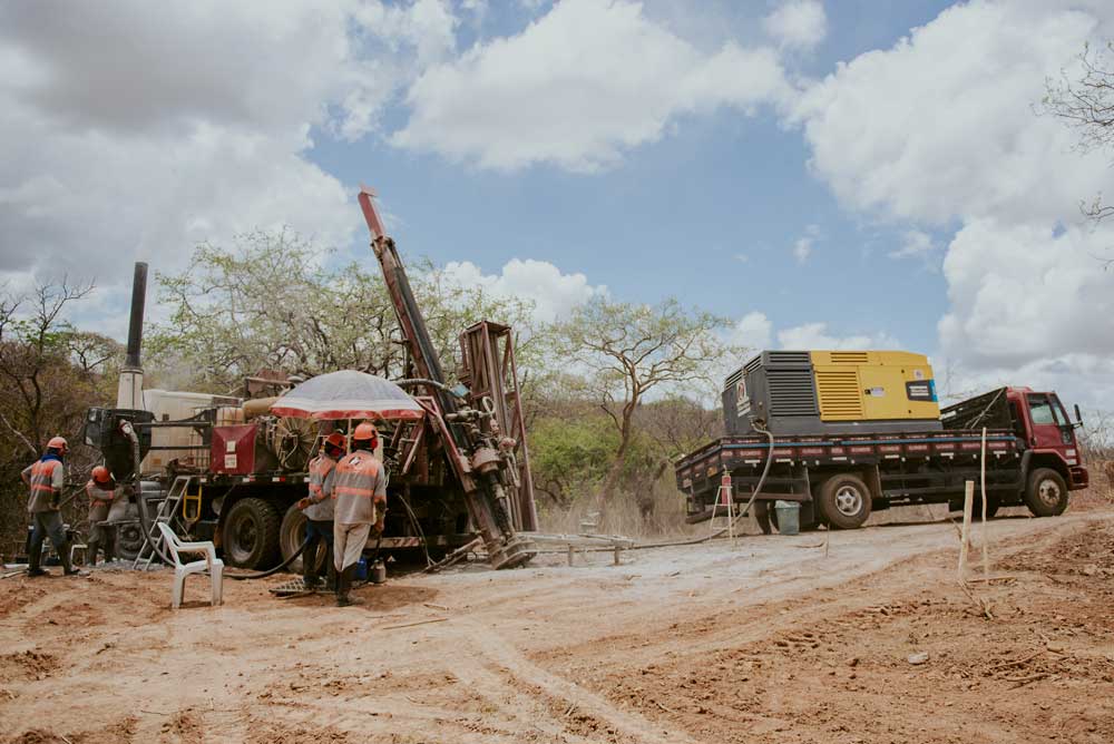
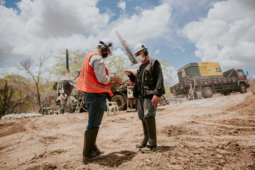
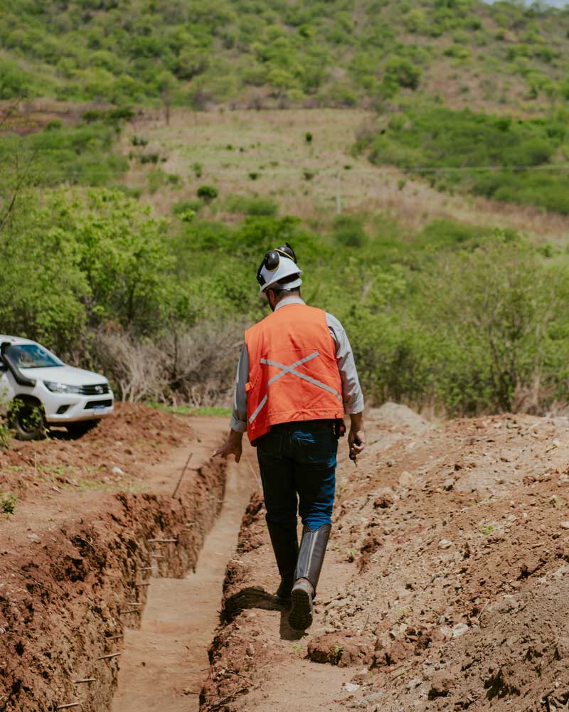
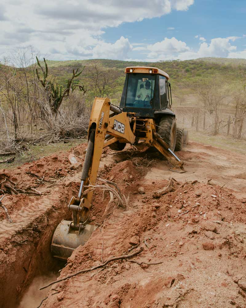
Igrejinha is one of our main targets alongside Coelhos and Queimadas. The RC drilling at Igrejinha was designed to better understand the geology, structure and controls on the known mineralized zones and their extension along the trend zones in order to support further exploration programs, following the Orogenic Gold Mineralization Model that is often continuous in significant depths in these systems.

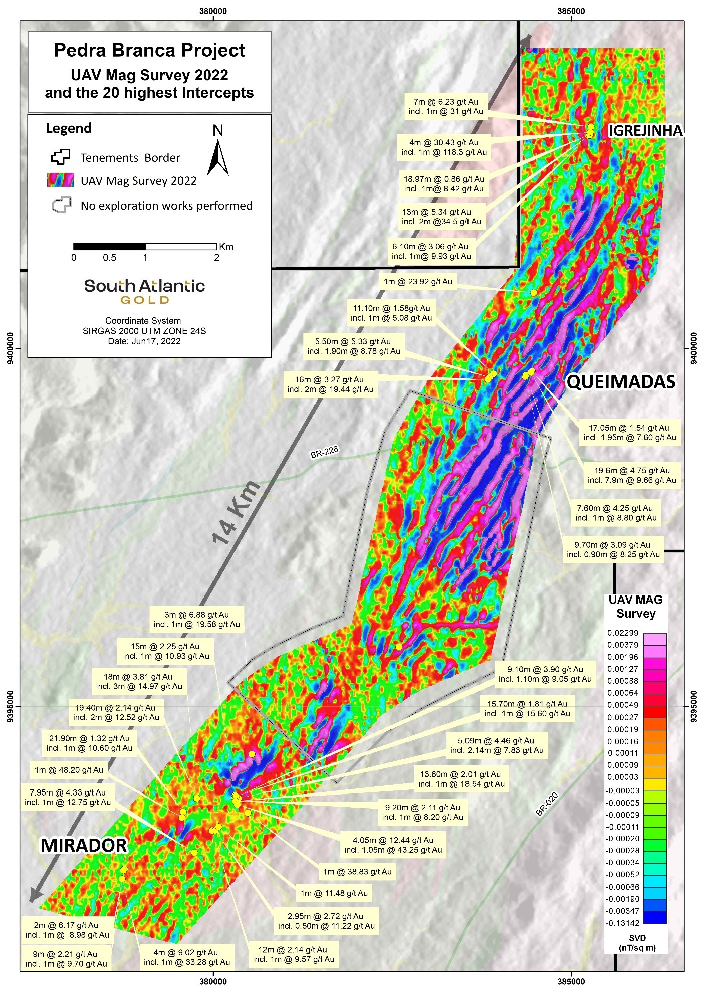
The gold mineralization at Igrejinha is  characterized by  subparallel intra-foliated millimetric/centimetric strings of sulfides in amphibolite shale with magnetite and fine quartz-feldspar rock, subordinately by hydrothermal silicification zones and pyrite >> pyrrhotite sulphides.

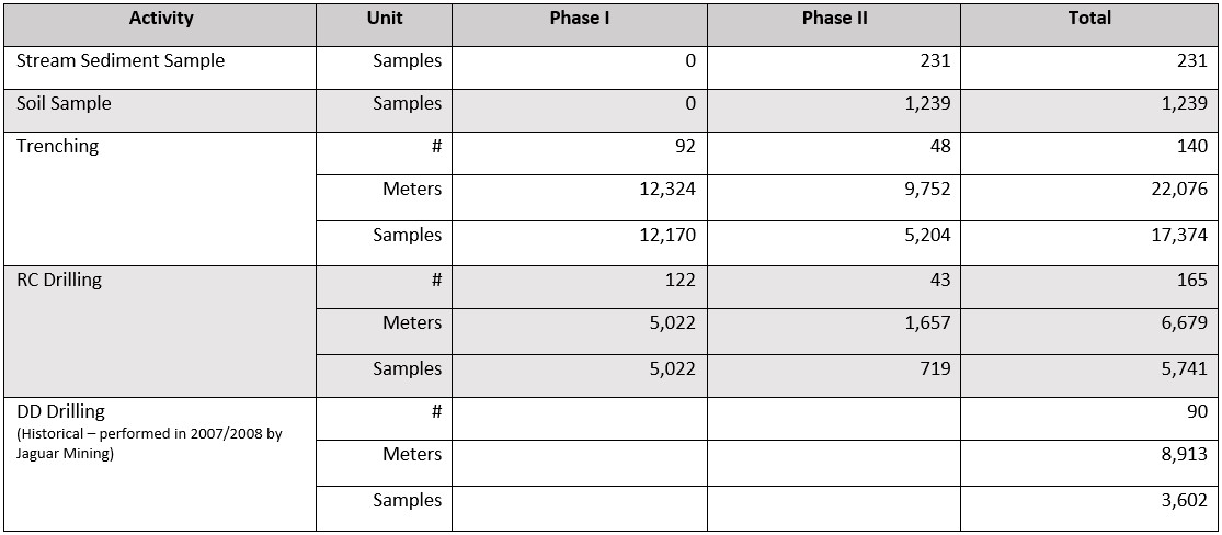
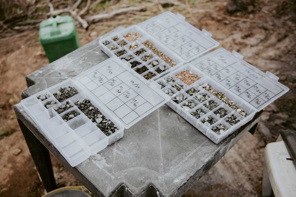
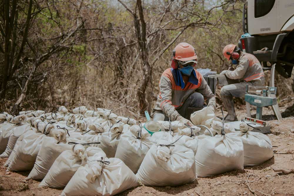
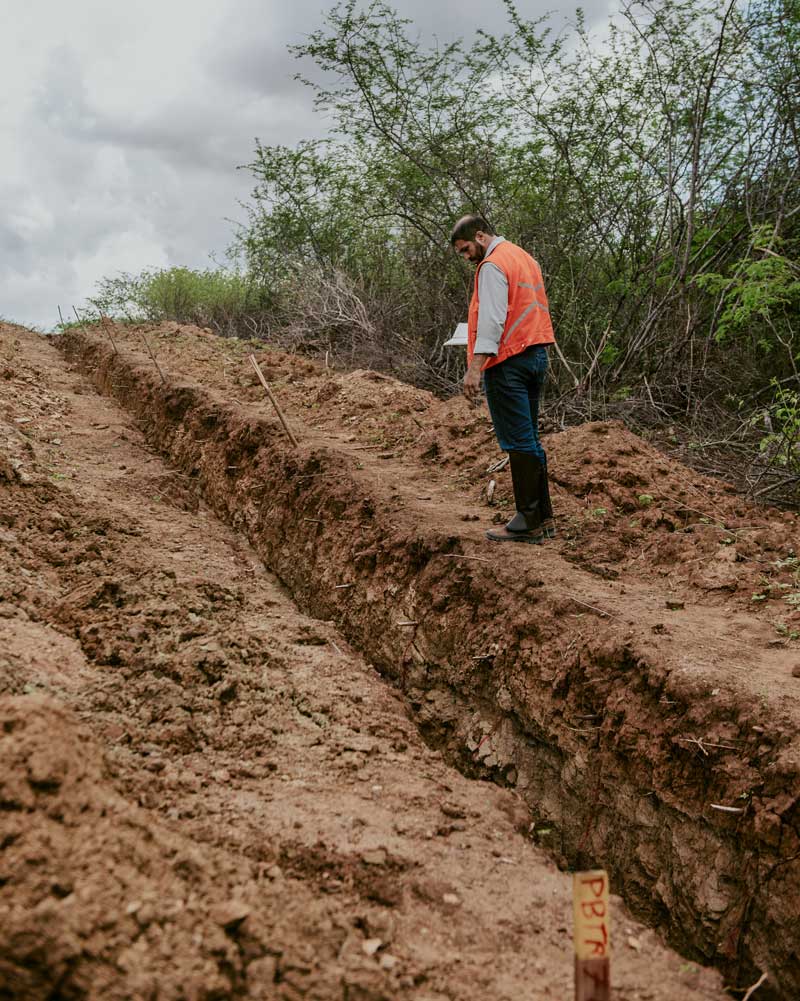
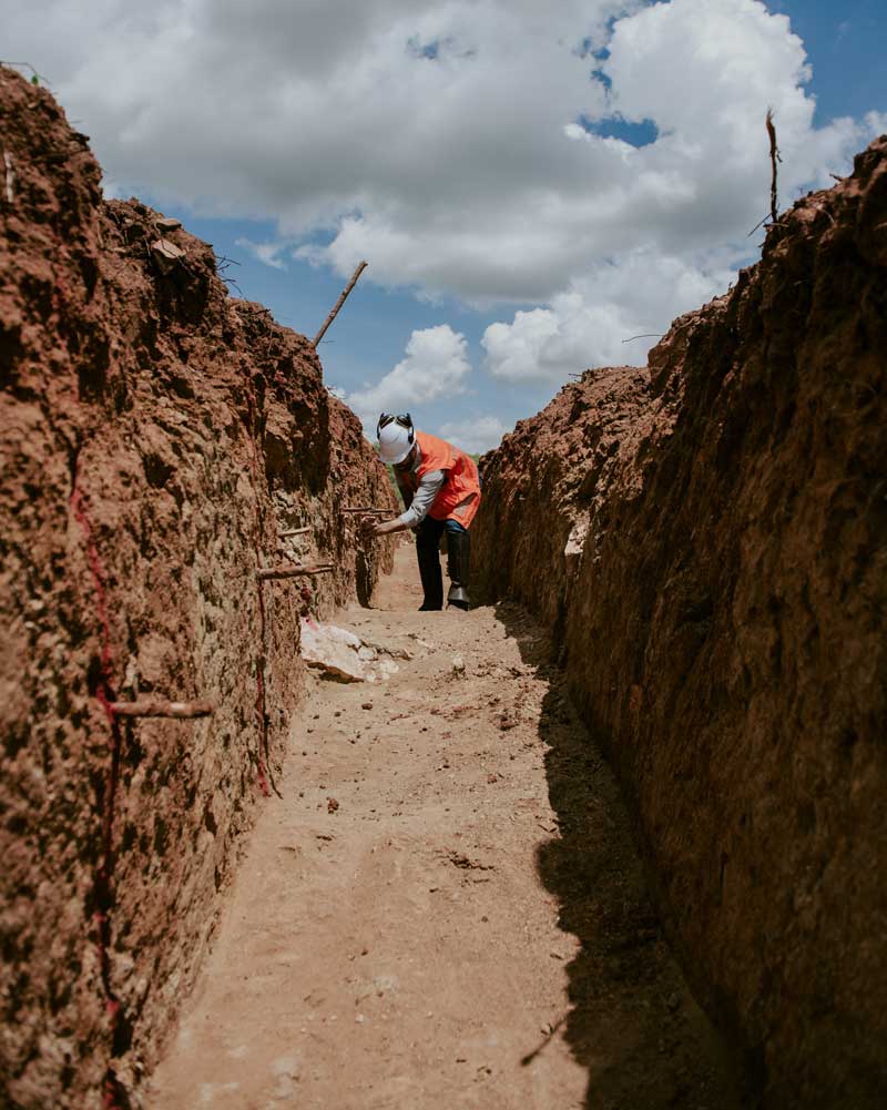
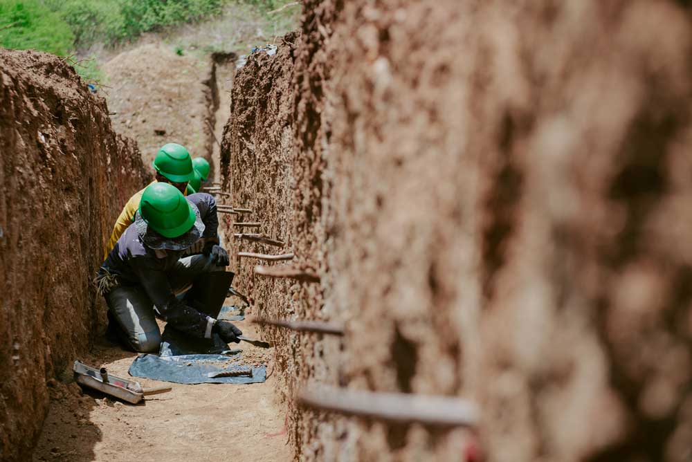
The Igrejinha target continues to be the main focus of the Phase 1 RC drilling program, with PB-RC-002 returning 1 m grading 5.9 g/t from 22 m depth, and PB-RC-003A intercepting 3 m at 1.13 g/t Au from 5m depth. Trenches at Igrejinha, PB-TR-009 and PB-TR-006 returned 6 m grading 7.19 g/t Au, and 29 m grading 0.73g/t Au (Including 3m at 3.22g/t Au), respectively.

coelhos-queimadas Target

Gold mineralization is Identified as mesothermal shear zone hosted gold deposit, associated to the Senador‐Pompeu shear zone. Mineralization generally occurs associated with quartz veinlets parallel to the foliation at the Coelho- Queimadas Target. Typical shear zone structural elements are not evident in the field and hydrothermal alteration occurs locally and in a few meters halo in the tremolite‐actinolite schists, chlorite schists and biotite‐gneiss that constitute the wall rocks. Strong silicification is present in all targets while eventual biotite, epidote, diopside and carbonate alteration occurs at the Coelho‐Queimadas targets.

The gold mineralization at the Coelhos-Queimadas Project is characterized by the subparallel intra-foliated millimetric/centimetric strings of sulfides in amphibole shale with magnetite and fine quartz-feldspar rock, subordinately by hydrothermal silicification zones and pyrite >> pyrrhotite sulphides.